
 giorgisulamanidze@gmail.com
 1508
1508
Goals
Problem statement:
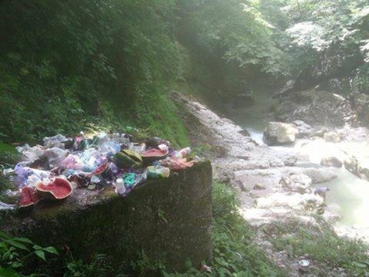
The world today is facing complex environmental challenges. Environmental pollution is one of the problematic areas. It creates a chain process and therefore its prevention is difficult, but possible.
Environmental pollution and ecological disasters can be avoided, and the risk reduced, through environmental education.
Proposed Solution:
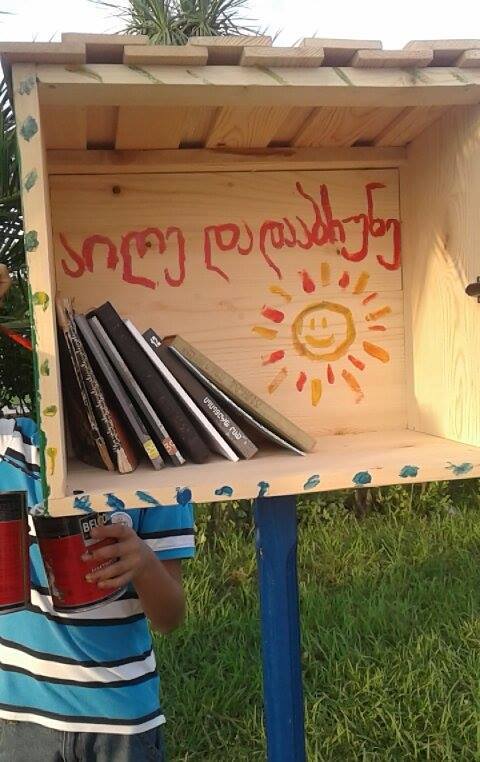
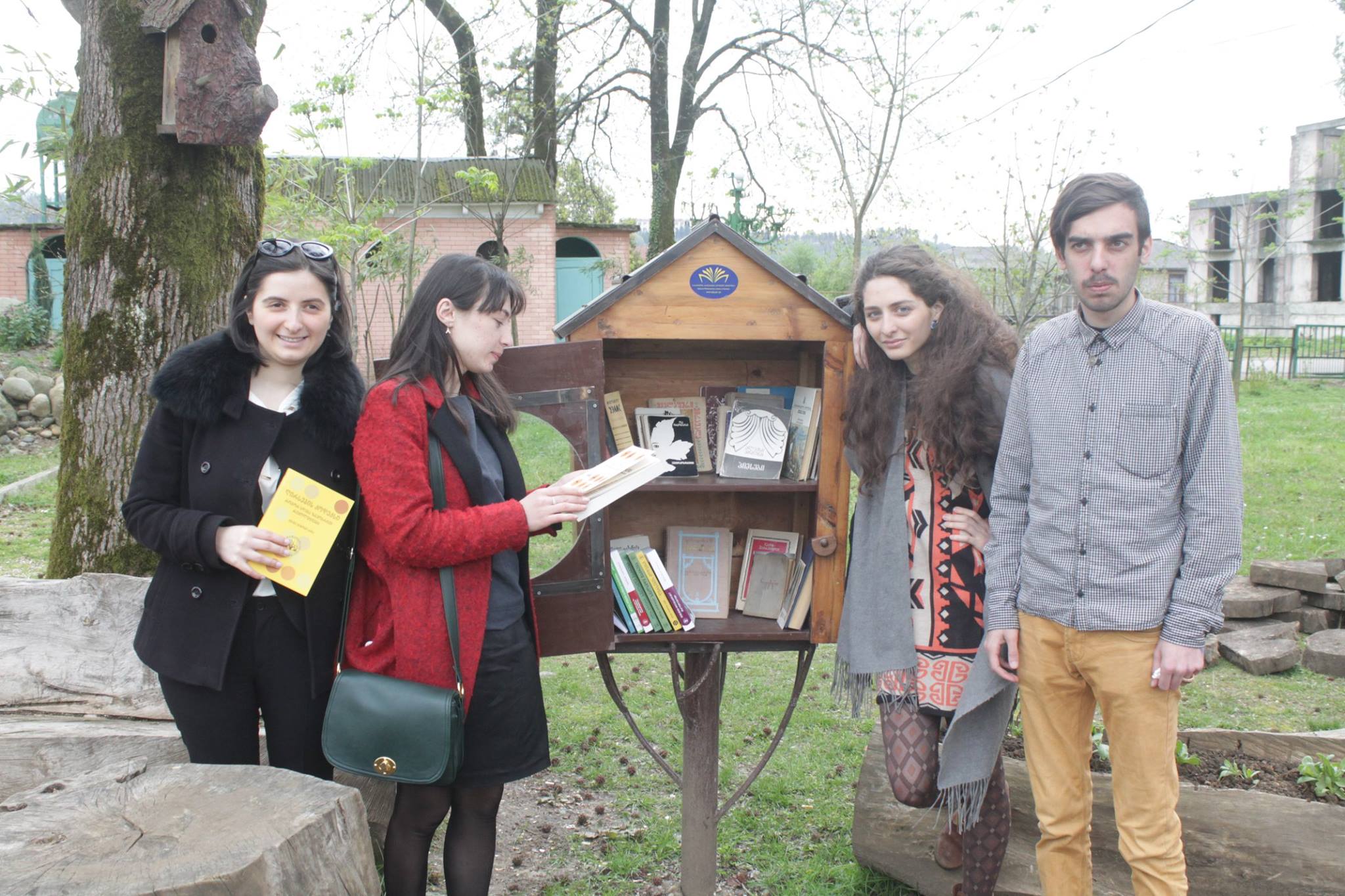
Geocaching is increasingly being used in environmental education. By combining a technological and geographical component with inputs on nature and environmental issues, environmental awareness raising and knowledge transfer are facilitated in an interactive way, thematic geocaching is fascinating young and old people alike.
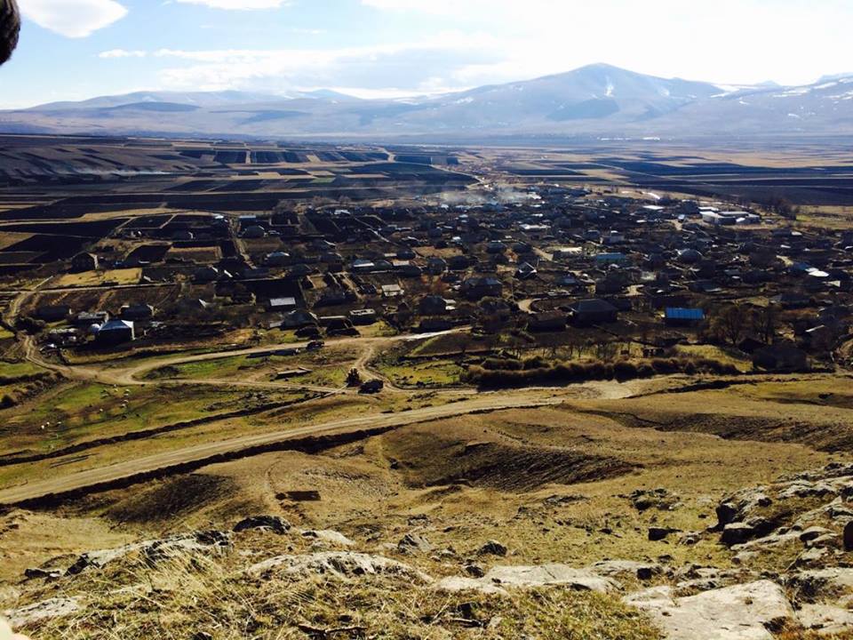
In the Lagodekhi protected areas, as a pilot project, we want to use this approach and establish first geocaching trails. Information on different natural processes and systems will be addressed. This will be implemented in 7-10 stations in Lagodekhi Park and along Black Grouse waterfall trail.
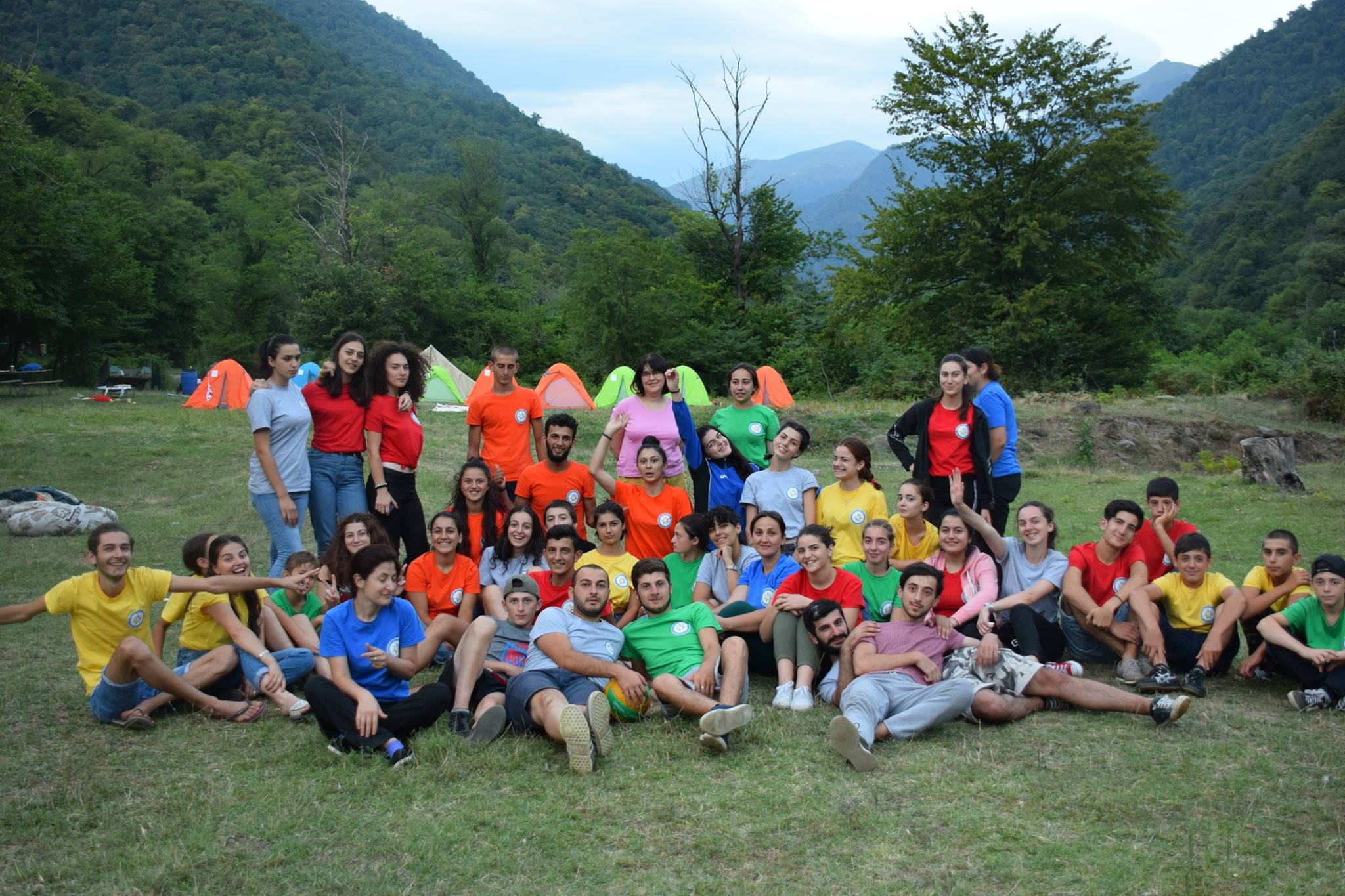
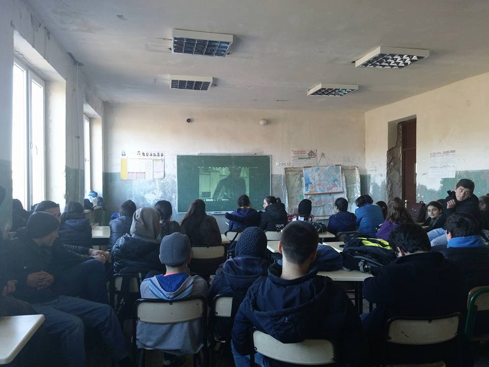
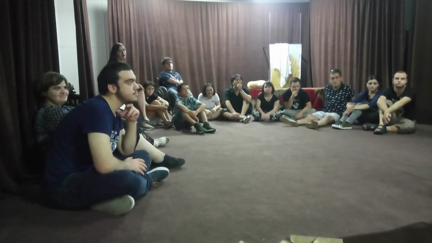
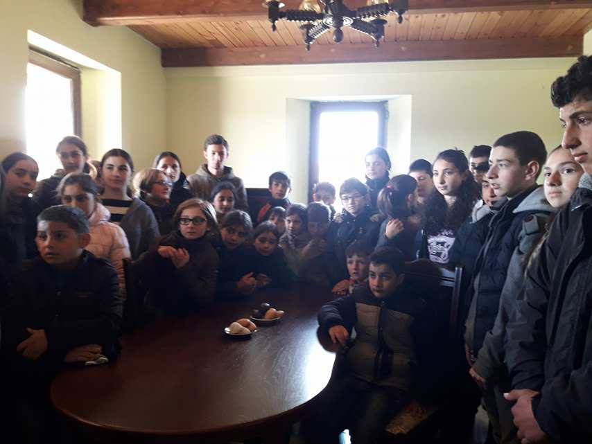
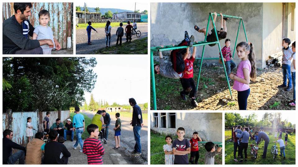
Lagodekhi school classes will be invited to a run for a treasure; they have to fill in a worksheet with questions on the things they have learned and give the code for opening a treasure in the visitor centre at the end.
Sustainability:
I work for Lagodekhi Protected Areas and four other employees will be involved in the program. The items and products will be transferred to the management of Lagodekhi protected areas.
The administration will provide product development and ensure its future functioning. The Friends of the Protected Areas will be involved in the presentation of the game to the schools in Lagodekhi. GPS devices will be offered as a rental at the visitor centre for the tourists to have maintenance costs covered. They will be free of charge for school kids.
Geocaching helps knowledge transfer, develop cognitive skills (cooperation in small groups, deriving information from graphics, own small investigation), acquire practical skills (handle GPS receiver, simple chemical tests to test ecosystem integrity) and graduate skills ( e.g. understanding of coordinate system of earth, scrutinizing given information and a set of values).
Equal gender opportunity:
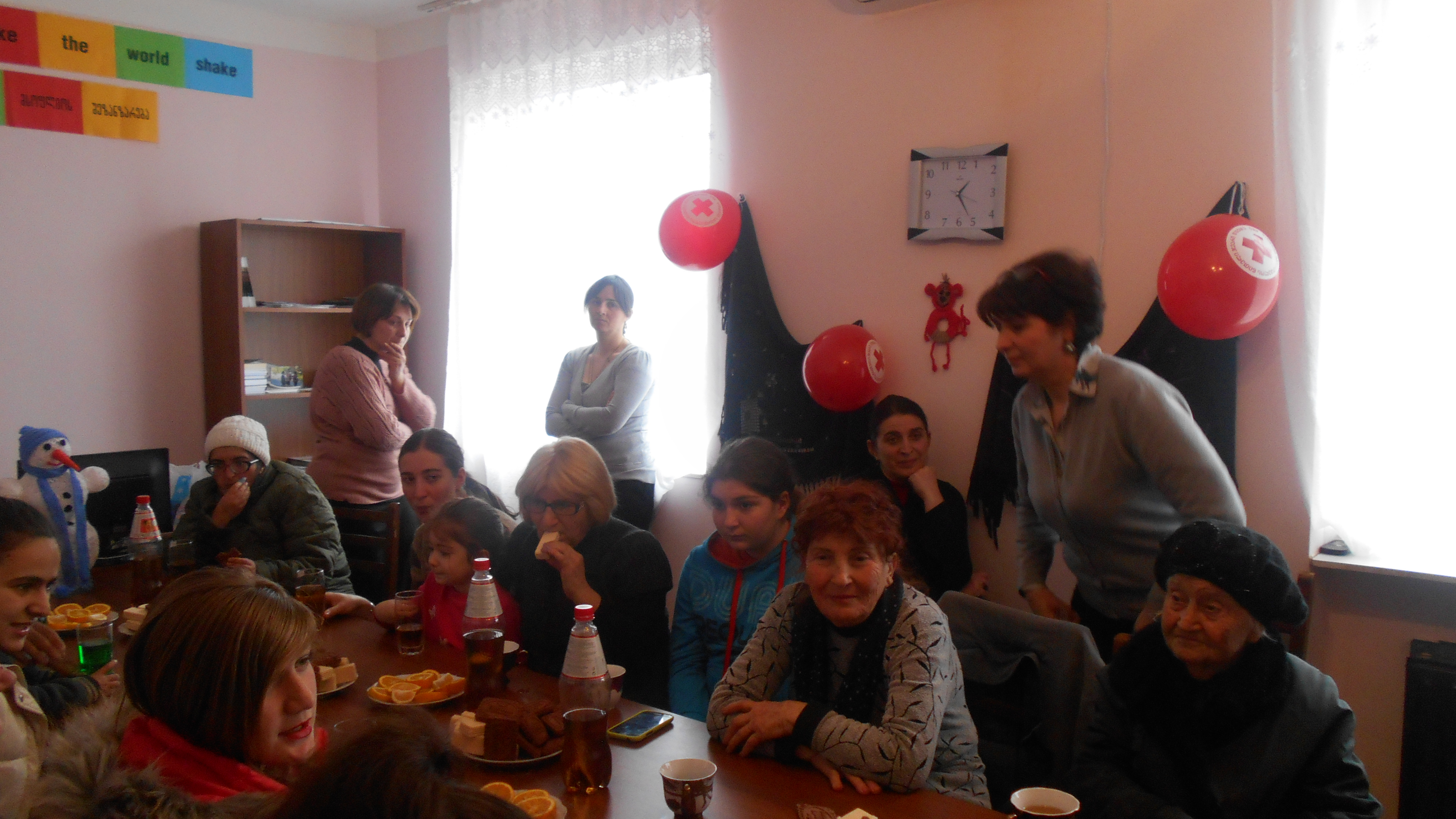
We want the geocaching trail to be open for all boys and girls to use, and adults as well, if they are interested.
Items Needed

| Item | აღწერა | Vendor Info | Total | Purchased? |
| 1 (one) Thermal Laminator and 100 lamination sheets | Lamination is the technique of manufacturing a material in multiple layers, so that the composite material achieves improved strength, stability, sound insulation, appearance or other properties from the use of differing materials. A laminate is usually permanently assembled by heat, pressure, welding, or adhesives. |
L.T.D. "Mymobile+"
tbilisi, Al.kazbegi st. 9 599551491 |
263,18 ₾ | |
| 1 (one) Color Inkjet Printer | In computing, a printer is a peripheral which makes a persistent human readable representation of graphics or text on paper or similar physical media. |
0
v 5 |
0,00 ₾ | |
| 4 (Four) GPS Navigator - Garmin eTrex 10 | A GPS navigation device is a device that accurately calculates geographical location by receiving information from GPS satellites. Initially it was used by the United States military, but now most receivers are in automobiles and smartphones. |
L.T.D. "Mymobile+"
Tbilisi, Al. kazbegi st. 9 |
1 531,20 ₾ | |
| 2 (Two) Magnifying Glass 10X | A magnifying glass (called a hand lens in laboratory contexts) is a convex lens that is used to produce a magnified image of an object. |
L.T.D. Mimobile+
Tbilisi, Al. kazbegi st. 9 599551491 |
47,85 ₾ | |
| 2 roll - PH Test | This Hydrion pH Paper provides excellent color separation in both the acid range (below pH 7) and the alkali range (above pH 7). Commonly used to test urine and saliva, it offers an easy to read, single color match at every .2 to .3 interval from pH 5.5-8.0. The color chart has pH matches at [5.5][5.8][6.0][6.2][6.4][6.6][7.0][7.2][7.4][7.6][8.0] Each roll provides for approximately 100 tests. |
L.T.D Mymobile+
Tbilisi, Al. Kazbegi st. 9 599551491 |
71,78 ₾ |
Similar Initiatives


Activity See All Activity
შესვლა first to add your own comment.Comments